Geo Measure (Distance & Areas)
3.0
Geo Measure (Distance & Areas)
3.0
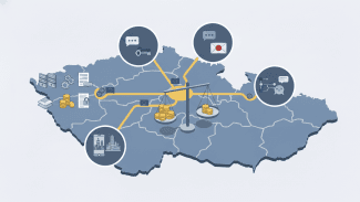
This map is useful for everyone. Land Surveyors, Real Estate Professionals for measuring land, Boaters & Hikers and recreational activists to draw waypoints, travellers, new land buyers, businessmen etc.
New Geo-Measure helps create (Lines & Polygons) to measure "Distances & Areas" on map more easier than before.
:- Add unlimited markers to draw and measure map lines or regions.
:- Create and Store Lines and Polygons (Areas).
:- Email Area or Distance in KML format.
:- Manage Drawings (Load, Send or Remove).
:- Accurate Measurement Results.
:- GPS User Tracking functionality.
:- Map Local Search functionality.
:- Most frequently used Units for measurement of Areas and Distances.
:- Handy Settings, any changes made will apply instantly. Need not have to redraw.
Please note that internet connection is required for map and search features.
Celkové hodnocení
Sdílet
Souhrnné informace o Geo Measure (Distance & Areas)
-
Verze programu
3.0 -
Autor
-
Potřeba instalace
ano -
Velikost souboru
2,02 MB -
Systémové požadavky
Aplikace pro: iPhone, iPad -
Jazyk
- Angličtina
-
Staženo
2× celkem
0× tento měsíc -
Poslední aktualizace
12. 5. 2020