Leica Geosystems
2.01
Leica Geosystems
2.01
Leica Geosystems
Incredibly Precise and Easy to Use
Point to Point Lasers - Disto
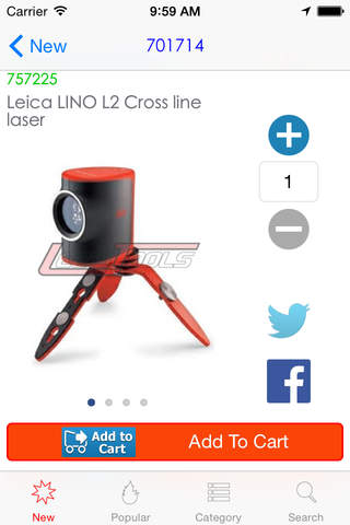
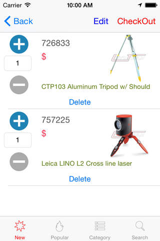
Continuous Line lasers - Lino
Rotary Laser - Roteo
Transits – Auto Level
With close to 200 years of pioneering solutions to measure the world, Leica Geosystems products and services are trusted by professionals worldwide to help them capture, analyze, and present spatial information. Leica Geosystems is best known for its broad array of products that capture accurately, model quickly, analyze easily, and visualize and present spatial information.
Those who use Leica products every day trust them for their dependability, the value they deliver, and the superior customer support. Based in Heerbrugg, Switzerland, Leica Geosystems is a global company with tens of thousands of customers supported by more than 2,400 employees in 21 countries and hundreds of partners located in more than 120 countries around the world.
Incredibly Precise and Easy to Use
Point to Point Lasers - Disto
Continuous Line lasers - Lino
Rotary Laser - Roteo
Transits – Auto Level
With close to 200 years of pioneering solutions to measure the world, Leica Geosystems products and services are trusted by professionals worldwide to help them capture, analyze, and present spatial information. Leica Geosystems is best known for its broad array of products that capture accurately, model quickly, analyze easily, and visualize and present spatial information.
Those who use Leica products every day trust them for their dependability, the value they deliver, and the superior customer support. Based in Heerbrugg, Switzerland, Leica Geosystems is a global company with tens of thousands of customers supported by more than 2,400 employees in 21 countries and hundreds of partners located in more than 120 countries around the world.


Celkové hodnocení
Sdílet
Souhrnné informace o Leica Geosystems
-
Verze programu
2.01 -
Autor
-
Potřeba instalace
ano -
Velikost souboru
21,34 MB -
Systémové požadavky
Aplikace pro: iPhone, iPad -
Jazyk
- Angličtina
-
Staženo
0× celkem
0× tento měsíc -
Poslední aktualizace
12. 3. 2017