Erie Canal
3.3
Erie Canal
3.3
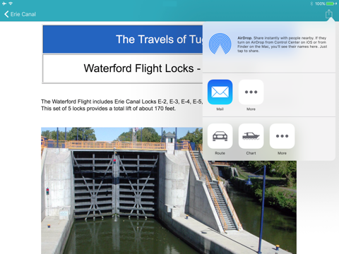
The Erie Canal is a navigable channel in New York, connecting Albany on the Hudson River to Buffalo and Lake Erie. This 338 miles waterway is now used for recreational boating and links many historical towns on the north of the state.
The app shows on the state map the main navigation route, the location of locks, guard gates, lift bridges and moorings along the canal as well as some well known biking trails nearby.
Users can plot their location on the map and share it with family, friends and other users.
Integration with the Maps app allows users to get detailed directions to reach docks and marinas by car.
On iPhones, the app allows users to call lockstations and marinas along the canal.
Warning : this app does not replace specialized publications and nautical charts. Not for navigation !
Note from Apple : Continued use of GPS can dramatically decrease battery life.


Celkové hodnocení
Sdílet
Souhrnné informace o Erie Canal
-
Verze programu
3.3 -
Autor
-
Potřeba instalace
ano -
Velikost souboru
4,87 MB -
Systémové požadavky
Aplikace pro: iPhone, iPad -
Jazyk
- Angličtina
-
Staženo
0× celkem
0× tento měsíc -
Poslední aktualizace
10. 10. 2019